Editorial team ·
What a venue map can show about location and access
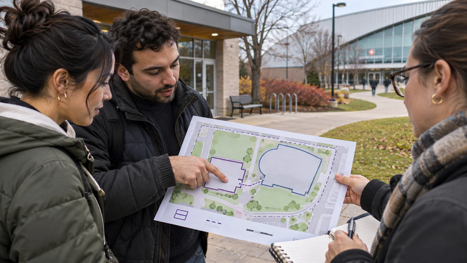
A map in a public report shows a venue beside a community building. A caption says “next to,” but the map does not show the pedestrian entrances. Read the legend and scale before checking the sentence. A location on paper gives only part of the trip between the two places.
Find the map’s date and area
In the fictional proposal, the venue outline and a nearby hall both appear. A dashed line marks a proposed entrance. The map establishes what the proposal shows. A later access plan would be needed to confirm the entrance was actually opened.
If a distance matters, say how it was measured. A straight line between outlines can be shorter than a public walking route between doors. A drawing without a usable scale may show arrangement without establishing metres.
Look for administrative or study boundaries too. A map that shows surrounding streets may not include every home or service in the reporting area. Find the document that defines the area for any figure you quote.
Write a caption with the date and source. Then say which parts are current, proposed or still unverified.
| Mark | What it shows | What to check elsewhere |
|---|---|---|
| Venue outline | Site shown in the report | Whether the project was built as drawn |
| Dashed entrance line | Proposed route or gate | Current public access |
| Scale and boundary | Basis for reading distance and coverage | Actual route and study definition |
Keep distance, route and access distinct
- Read the map as a document
- Find date, legend and limits.
- Identify proposal versus current layout.
- Check the practical question
- Measure the right kind of distance if possible.
- Confirm access with the relevant source.
Questions and answers
- Does being close on a map establish an easy walk?
- Check the public path, crossings and doors. Distance alone cannot describe the approach.
- Can a map prove neighbourhood impact?
- Use a map for location or coverage. Impact needs evidence of a measured outcome.
- What if the base map is older than the proposal?
- Record both dates if they are available and distinguish what each layer represents.